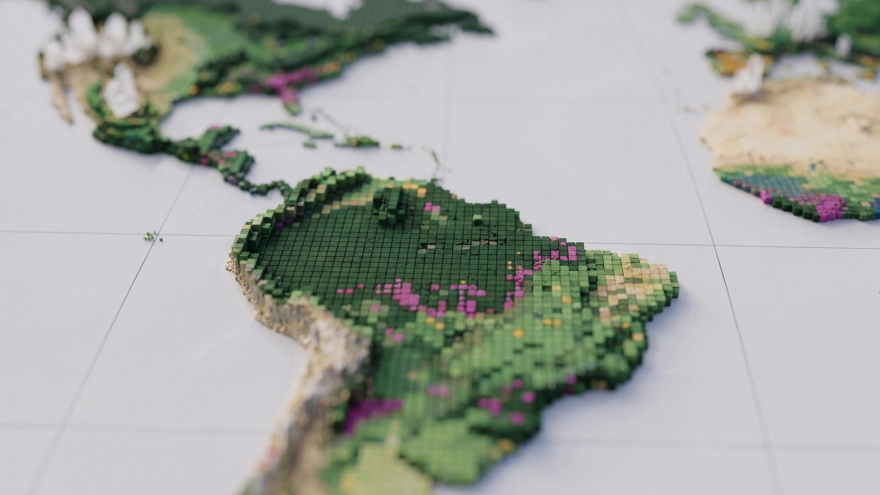
Google DeepMind and the World Resources Institute have developed ForTy, an AI-generated global map that distinguishes primary forests, timber plantations, and tree crop farms, according to a report published by The Decoder.
Standard satellite maps show where trees grow but not what kind of forest or crop covers an area. ForTy, short for Forest Typology, assigns the world's land area in 2020 to six classes at 10-meter resolution. The classes are primary forest, naturally regenerating forest, planted forest, plantation forest, tree crops such as oil palm, rubber, or cocoa, and other land. The authors describe ForTy as the first global map of this kind. The report says earlier datasets, including one from the European Commission, cover only parts of the world.
The report ties the project mainly to the EU Regulation on Deforestation-free Products (EUDR). The regulation prohibits goods linked to forests cleared or degraded after December 31, 2020, including goods produced after primary forest was converted to a plantation. Companies assessing supply chain risks need to know how a site was used in 2020, and ForTy provides that reference point. The report says the map could also support the Tropical Forest Forever Facility and the UN goal of protecting 30 perc